Divundu, Caprivi Strip

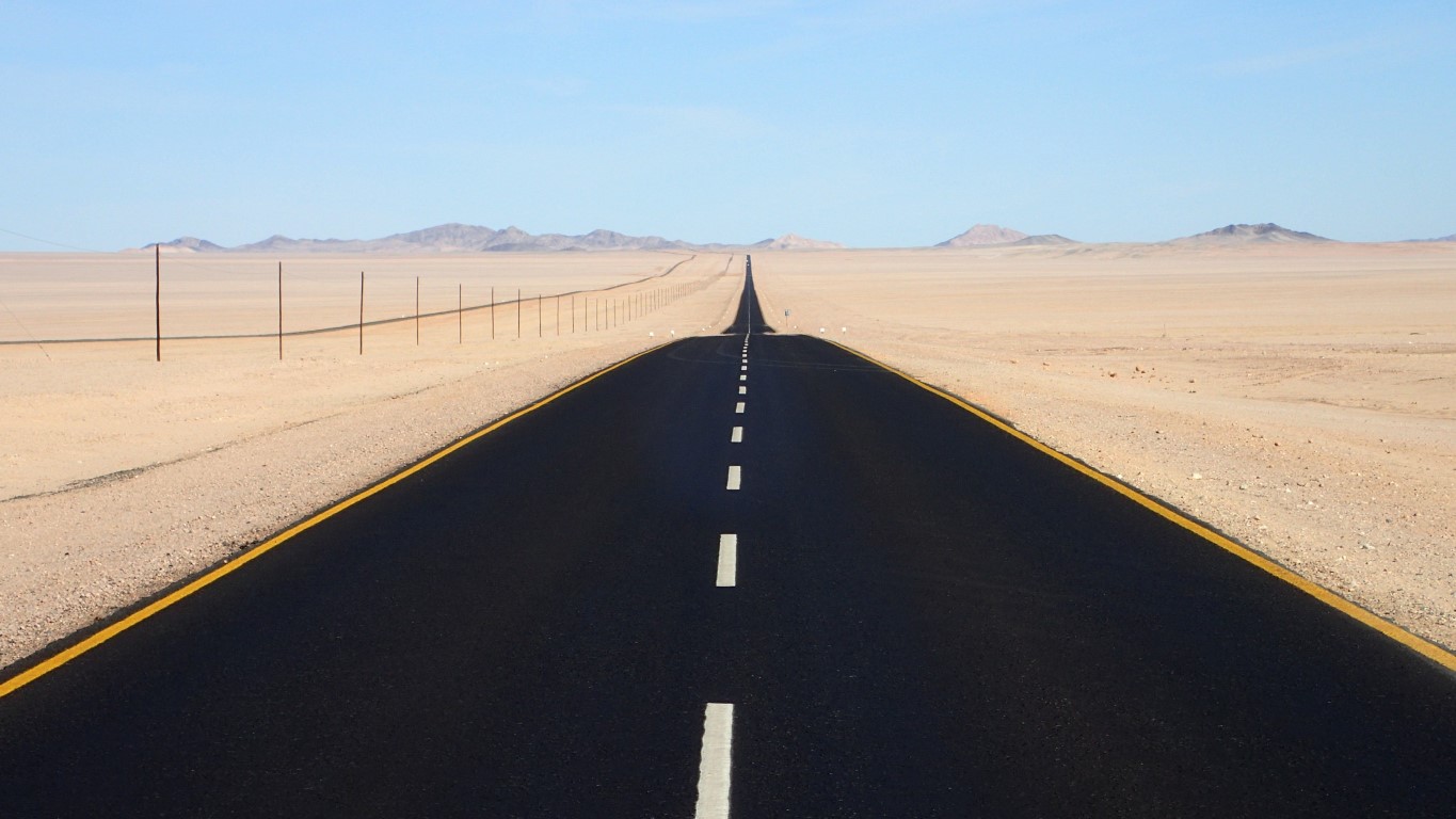
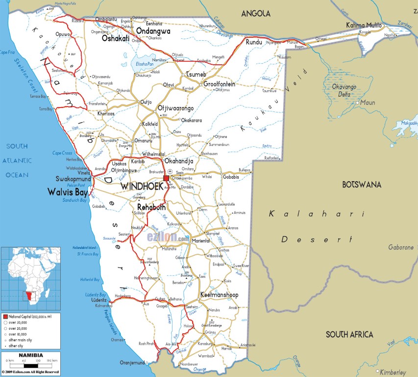
We’re in the far north-east of Namibia, in Caprivi, a strip of land that lies between Botswana to the south and Angola / Zambia to the north. From east to west, the strip is about 450km long, and at its narrowest, it’s only about 50km wide. The Caprivi Strip was acquired by the Germans in a land exchange with Britain  in the late 19th Century because they wanted access to the Zambezi River and their East African colony in Tanganyika (now Tanzania), apparently forgetting that the Victoria Falls would make it impossible to get through.

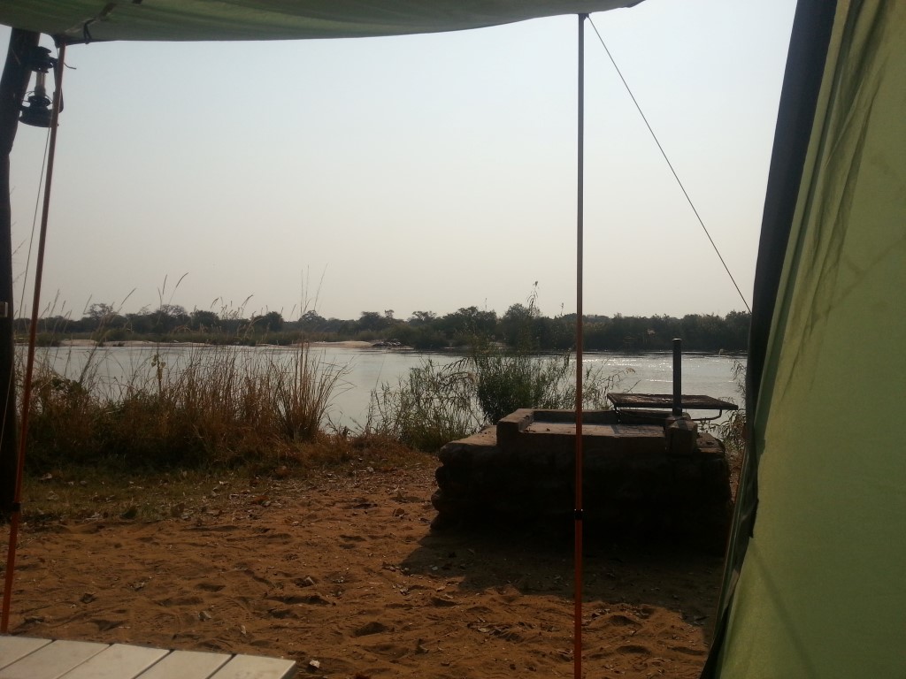
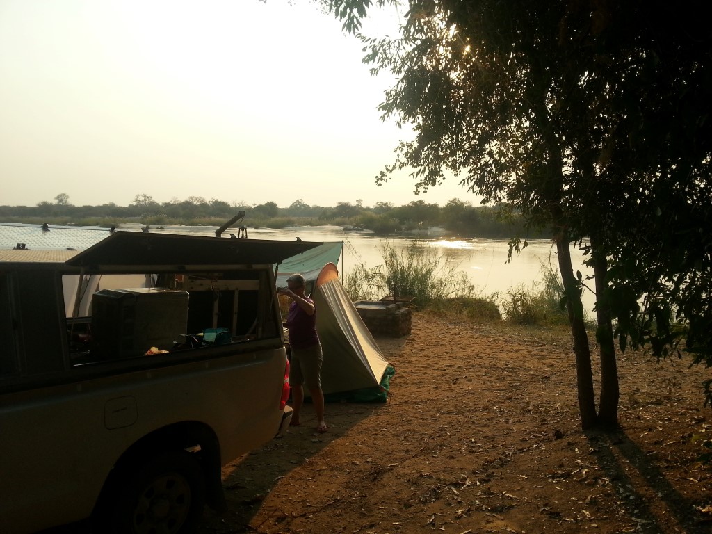
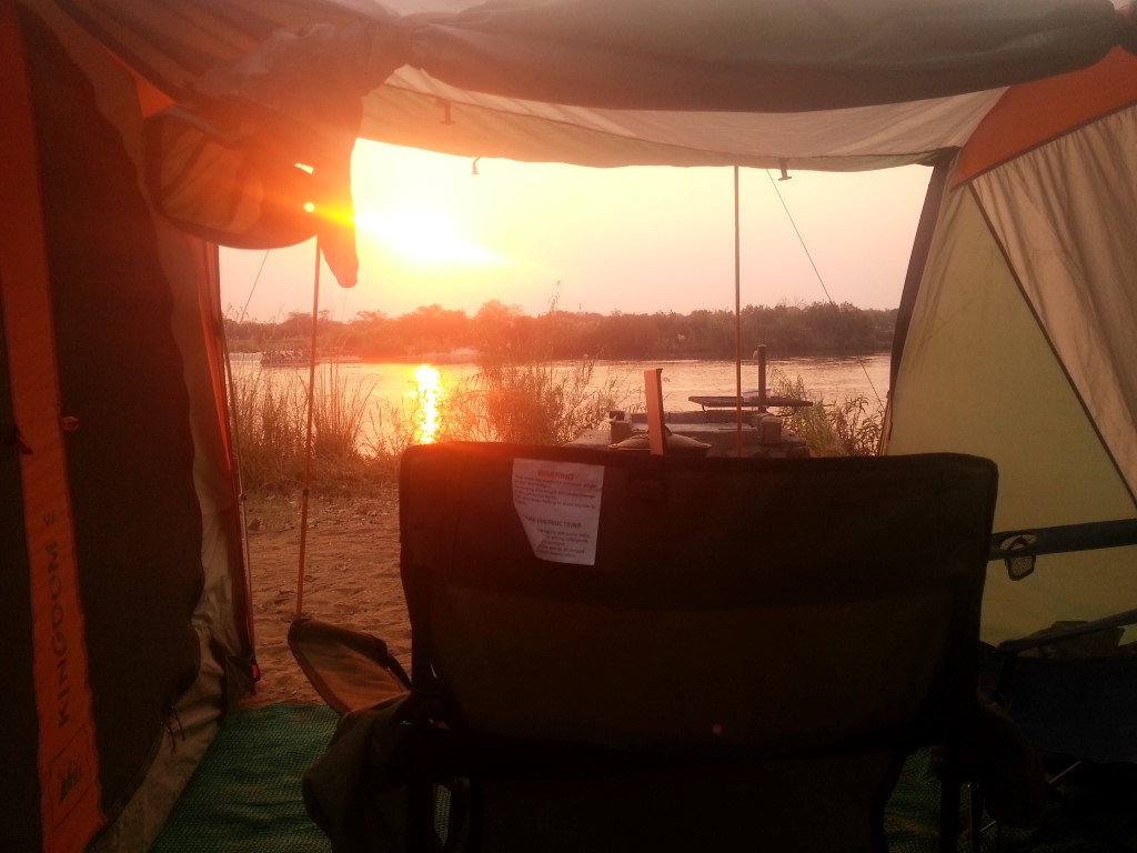
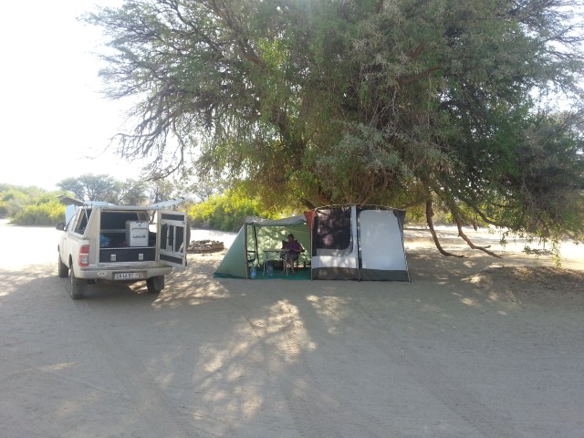
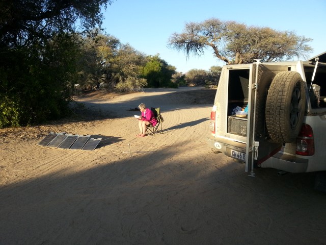
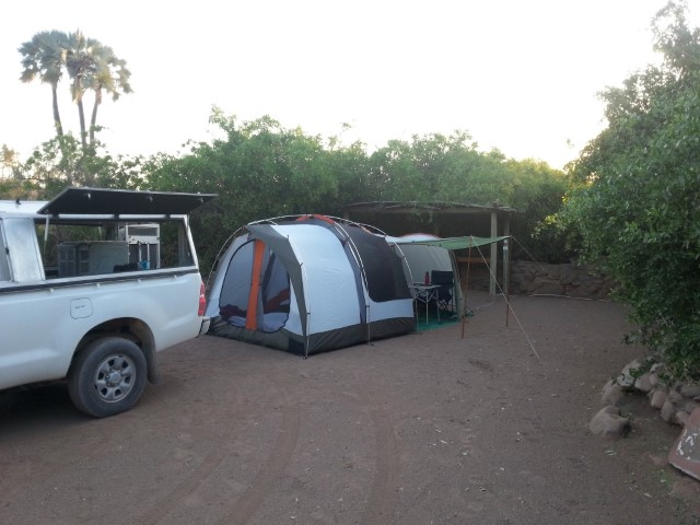
Being in the far east of Namibia, the time zone has switched to ‘Caprivi time’ – which is the Botswana/South Africa time zone. We’re now 7.5 hours behind ADL time. We’re spending a couple of nights at the Nunda River Lodge, which was recommended by our fellow campers at Kunene. We’re camped right on the eastern bank of the Okavango River, and across on the other bank is a bloat of hippos (I don’t know if ‘bloat’ is the official collective term for hippos, but in this case, it seems about right). They spend most of their time lying down very close to each other, but whenever a tour boat stops nearby, some of them get up to give the tourists a bit of a show. We think we heard them during the night over on this side of the river, and there’s grass on the bank that looks like it’s been mown by hippos. They are vegetarians and even though there seem to be a lot of stories about how dangerous they are to humans, they may be exaggerated. We won’t bother them, so hopefully they will leave us alone.

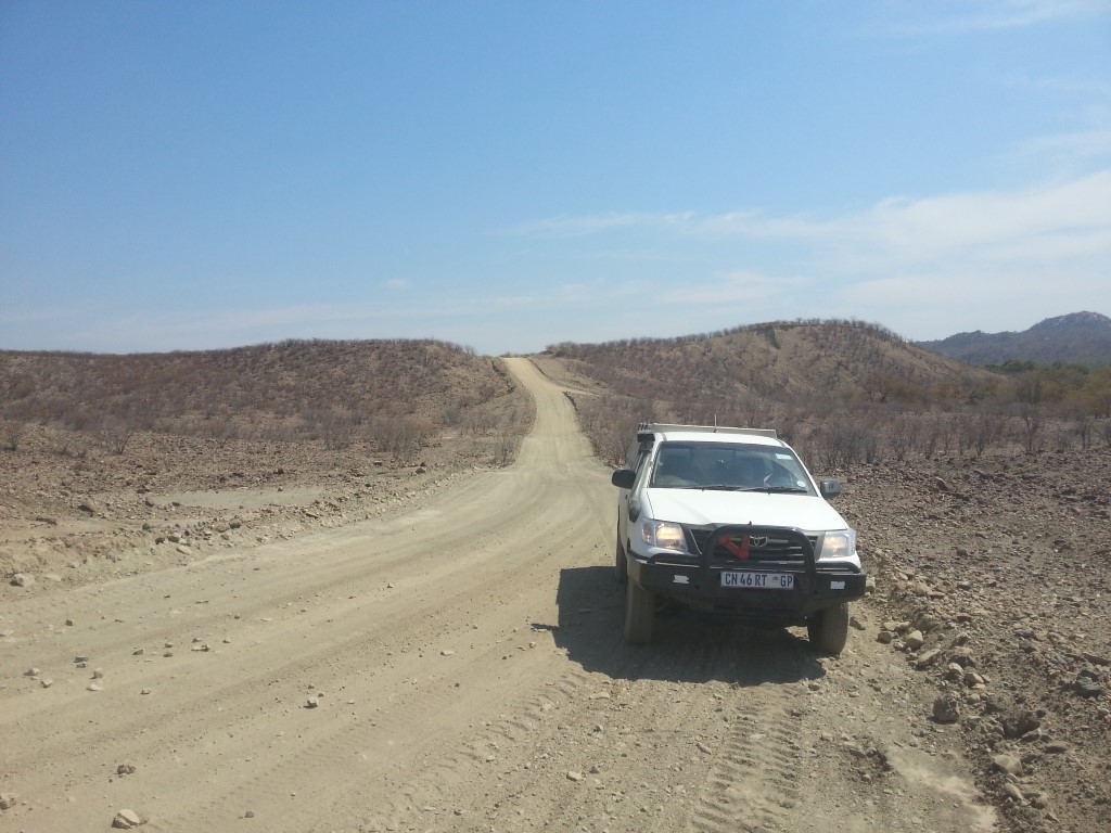
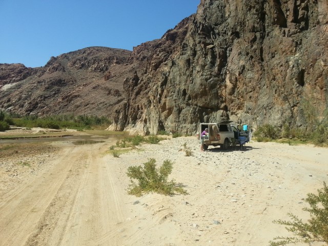
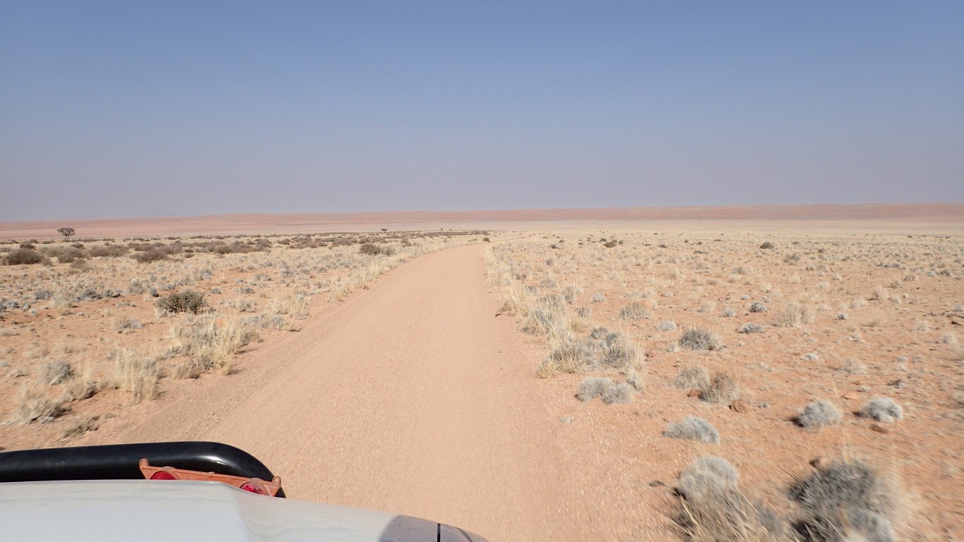
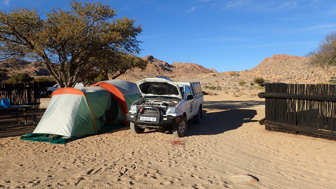
We’ve spent the last couple of days driving along the Trans-Caprivi highway. We spent a night near Rundu at the Kaisosi River Lodge campground which was okay, the campsites were very close together and thankfully they weren’t all occupied or it would have been VERY squeezy. Rundu has a population of around 80,000 and is the 2nd largest town in Namibia, after Windhoek. It was originally built as a bus stop in the 1940s to transport local labour to German-owned farms. Apart from a couple of sealed roads, most of the streets are sand (yes, more dust!). A new shopping centre is being built on one of the sealed streets.

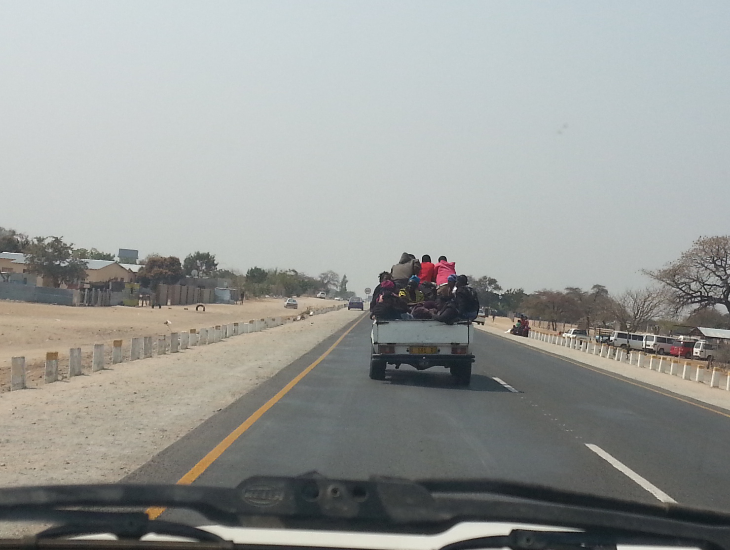
As we drove to Rundu on Friday afternoon, we passed lots of small villages with dwellings built of sticks and grass roofs. They seem to be arranged in extended family units, with multiple huts inside a fenced-off area about the size of an Australian house block. Some huts are open – just some vertical sticks and a roof, others are closed. Different huts for different uses – sleeping, eating, storage. We saw loads of people walking along the highway. It took us a little while, but we realised that they were getting water from the nearest water tanks, which were often several kms away. I guess this is a daily occurrence for the villagers – lugging water. The most amazing one we saw was a woman just about to cross the highway with a full 20 litre drum of water on her head, breastfeeding a baby! Yesterday morning, Saturday, was washing day and we saw women and children carrying washing tubs full of clothes to their nearest water tank to wash, then take home and dry. We take such a simple thing as having potable running water in our homes for granted, don’t we?

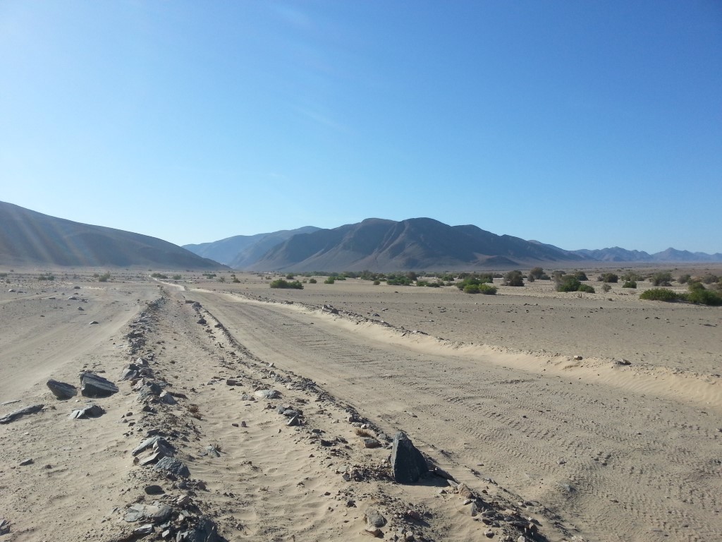
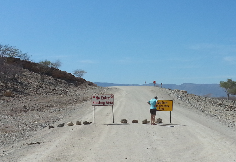
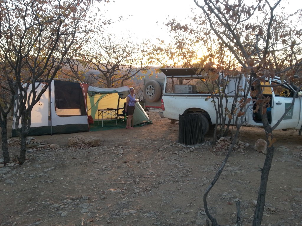
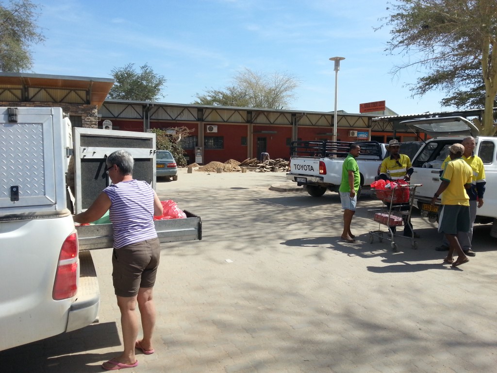
The trip though Namibia so far

Behind a bakkie (ute) with 14 people in it


Camped on Okavango River you can see the Hippos on the other side


Camped on the Okavango River
Sunset over the river. Sunsets are really red because of dust/smoke?

Ondangwa

We’re travelling east, towards the Caprivi Strip, although it will take us a few days to get there. After a lovely dust-free night at the Kunene River Lodge, we chatted this morning with fellow campers who gave us lots of great advice about where to go and where not to go in the areas we’re travelling to. Then the proprietor warned us that we’d have trouble finding a campsite tonight as this area in the Far North is the most-populated in the country. He was right – people and villages and shops and cars and donkeys and goats and mostly 60km speed limits for most of the day. He recommended the Ondangwa Airport Lodge, but they are full tonight as they have conference guests, but the receptionist there phoned the Protea Hotel and we are now luxuriating in a room at the Protea. Nothing flash, but it has carpet which makes a nice change from dust, the Wifi is good and there’s electricity. Sometimes it’s just the little things, isn’t it?

But wait! We have to tell you about what we did today. We walked to Angola. Really. No stamps in our passports or anything official like that but we have some selfies so that’s proof, right? There is a waterfall downstream from a dam on the Kunene River, and it’s possible to visit it by crossing the Namibian border into a sort of no-man’s land before reaching the Angola border control. There’s a derelict power station near the falls, and lots and lots of steps down to see the falls, where we stood on the Angola side of the border. Then climbed all those steps back up. We didn’t realise it while we were there, but the power station buildings were damaged by mortar shells during the Namibian War for Independence.

Camped on Grass at Kunene River Lodge!
Looking over the Kunene River towards Angola at breakfast
On the road to Ruacana, another dusty road in Kaokoaland
Judy entering Angola at Ruacana falls
Ruacana Falls
Ruacana Falls
An Angolan selfie!
An Angolan selfie!


Did we just land on Tatooine?

We’ve been to a few places and done a bit of stuff, but nothing prepared us for our visit to Opuwo. We stayed  in the campground at the Opuwo Country Lodge last night. It’s set on a hill above town, with great 360 degree views. The reception-restaurant-gift-shop building has the largest thatched roof in the southern hemisphere. The campground was nicely laid out and it was good to be away from the wind and dust of the last few days.

The eye-popping stuff started this morning when we went to get fuel and some food. The retail area of Opuwo is a seething hub of people. Local Himba women with their plaited hair covered in ochre mixed with butter, wearing a short skirt made of hide, some jewellery and not much else. One tried to sell me some jewellery, and I stood behind another young Himba woman in the supermarket. They walk barefoot and their feet must be tough – there are loads of thorny bushes, prickles and other sharp objects all around.

At the other end of the scale were the Herero women dressed like Mammy from Gone with the Wind – voluminous colonial-style dresses with long skirts, crinolines, petticoats, shawls and horn-shaped headgear made from the same fabric as the dresses. Some of the women wore a variation of the dress, but made of patchwork. And then there were the men – Himba men wearing a fabric loincloth at the front, with a hide cloth covering their bottoms. There were some dapper older dudes wearing trousers, long-sleeved shirts, buttoned-up cardigans and carrying walking canes, and even a young guy with a bow tie.

It was an amazing parade of humanity and while we were buying fuel I commented to Greg that I felt like I’d landed on Tatooine, or  some other distant planet far, far away. Adding to the entertainment were cows wandering across the street, locals selling stuff by the side of the road, people trying to hitch a ride or just sitting waiting.

We’ve had a few days of wind and dust, but now we’re camped on grass by the Kunene River in the far north of Namibia. Angola is on the other side of the river. When I was being shown to the campsite, I asked if there were crocodiles in the river …. ‘only on the Angola side’. Er. right. It’s not a very wide river, so those crocs might just sneak over this side. We’ve done 2 tyres in the last couple of days. One also has bent rims, but Greg and a fellow camper were able to plug the other one, so we do still  have a spare (we started with 2 spares).

We’ve been as far north, and as far west as we’ll travel on this trip. Now we’ll head east to the Caprivi Strip – a weird, narrow strip of Namibian land in the north east, between Botswana to the south and Angola & Zambia to the north.

Dung near our camp at Puros. It comes from an animal that starts with "E"
Dung near our camp at Puros. It comes from an animal that starts with “E”
Our outside shower at Puros
On the road out of Poros
On the road out of Puros
The Road Block North. We came across this road block to Opuwo. No people no explanation, no detour. We found another tourist who had been up the road and yes it really was a road block. The map showed a long hundreds of kms long detour to avoid. We gave up and headed south only to find another road a few kms on showing a road to Opuwo, so we took it still detouring at least a 100km.
The Road Block North. We came across this road block to Opuwo. No people no explanation, no detour. We found another tourist who had been up the road and yes it really was a road block. The map showed a long hundreds of kms long detour to avoid. We gave up and headed south only to find another road a few kms on showing a road to Opuwo, so after asking a local driving along the road we took it still detouring at least a 100km.

A drive through Opuwo

Camped at Opuwo Country Lodge
The craziness that was the OK supermarket at Opuwo - loading groceries.
The craziness that was the OK supermarket at Opuwo – loading groceries.
We didn't take this, but this is a typical Himba woman. It is hard to explain how strange it is queuing behind someone dressed like this at the supermarket
We didn’t take this, but this is the dress of a typical Himba woman. It is hard to explain how strange it is queuing behind someone dressed like this at the supermarket
The memorial to the trekkers that crossed into Angola in the 1880s and were expelled from Angola in the 1920s
Looking across the Kunene river into Angola

Puros

Lunch on the Crowthers 4WD track
Lunch on the Crowthers 4WD track (pictures are small because they are all we can upload with our really limited internet)
Desert Zebras
Desert Zebras
Welwitschia plant which survive drought by absorbing the moisture from coastal fogs, and live for thousands of years
Welwitschia plant which survive drought by absorbing the moisture from coastal fogs, and live for thousands of years, a living fossil.


Blackthorn campsite. Very isolated, we had seen only 1 other car on the road all day
The camp at sunset
The camp at sunset, keeping and eye out for lions, elephants and other dangerous creatures
mother and bay Giraffe in desert
mother and baby Giraffe in the desert
Lunch in Puros Canyon with the first surface water we have seen for a while
Camped at Puros. A nice campsite but dusty when the wind blew
Getting some sun at Breakfast


Palmwag

This blog post is being written with very limited internet access, using different electronic devices than usual, so here’s hoping it all works.

We drove along the southern Skeleton Coast yesterday. This northern national park accounts for a third of the Namibian coastline and got its name in the 1930s, from a journalist who was covering the disappearance of a pilot and his plane which were never found. Prior to this, it was known as The Sands of Hell by the Portuguese – even if any sailors did manage to survive a shipwreck, surviving on land in this inhospitable desert would have been almost impossible. If the sailors didn’t die of thirst, they would be good tucker for the local wild animals. There are loads of shipwrecks in this area, thanks to strong Atlantic currents and swirling fogs. Like Table Mountain with its cloudy ‘tablecloth’, this part of the coast has its own cloudy microclimate, with permanent low cloud hanging over the beach and shallows. When we camped at Swakopmund, the cloud turned to wet mist with tiny droplets hanging in the air. Definitely enough for us to get wet if we stood out in it for long enough.

So … the Skeleton Coast. It is only possible to visit the lower 100kms or so, unless you have accommodation booked. There is a campgound a bit further north, but it only opens in December and January. There is also cabin-type accommodation further north again, and much further nirth is an up-market place that is fly-in-fly-out only. So we just did the 100kms, then headed inland. After reading so much about this place, it was all a bit … underwhelming. I guess I’d expected to see lots of shipwrecks and pirates and buried treasure … oh, wait, I’m thinking of Treasure Island. No, it was all very desolate and bleak with a couple of points of interest to break the monotony. For most of the drive, it’s further inland than we’d expected, so it’s not possible to see the coast. We stopped at the shipwreck of the South West Sea (1976), which was right on the beach … not much left of it now. We have maps that show the shipwrecks along the coast, and it’s surprising how many are from the 1960s and 70s. Further along the road is an abandoned oil mine and an abandoned diamond mine. Neither venture was successful. Very little grows in this area, and at the moment the 4 rivers that run through the area are all dry, although the Kiochab River has a large-ish lake near the beach with lots of birdlife on it. When the rivers flow, the whole area must come to life. Surprisingly, over 100 different species of lichen grown in the Skeleton Coast National Park – many different colours that break the monochrome landscape. They rely on the coastal fog for moisture.

Last night we stayed at the campgound at Palmwag, which also offers resort-style facilities. We have a lovely private site with kitchen area (tap and bench), braai, seating and on one side of us is a ‘do not enter’ area where I saw a large Gemsbok (antelopey-thingy) this morning. Just over the fence is the outdoor bar and swimming pool. Very nice.

The gates to Skeleton Coast National Park
Shipwreck 1976
Shipwreck 1976
Abandoned Oil Rig
Abandoned Oil Rig
A mass of rust
A mass of rust
Camped at Palmwag
Camped at Palmwag

Cape Cross

Zeila Wreck 2008. Broke away from its towing vessel while being towed to India for scrap. Another victim of the Skeleton Coast
Windy lunch stop on the Atlantic ocean at Henties Bay
Crosses at Cape Cross. One is a replica of a cross left by Portugues navigator Deigo Cao in 1485
Crosses at Cape Cross. One is a replica of a cross left by Portuguese navigator Deigo Cao in 1485
Thousands of Cape Fur Seals at Cape Cross, part of a colony that numbers up to 250,000
The walkway for viewing the seals
It might look like seaweed floating on the water, but its actually hundreds of Cape fur seals
Camped at the windy camping ground at Cape Cross Lodge. Wind generators in the background


White Sand, Blue Water

We only had one full day in Windhoek, and no plans on what we’d see or do … which was probably a good thing, as it turned out. We went to a suburban shopping centre in the morning to get a few things. The outside of the centre was very eye-catching, painted in bright pastel colours. We parked towards the end of the car park, about 20 metres from a police station. Didn’t help much, because someone chucked a brick through the passenger window and stole Greg’s camera. Yeah, we know, he shouldn’t have left it in the car. The locals we talked to were really surprised that it happened, apparently stuff like that doesn’t happen in Windhoek, or it only happens in the centre of town, or only on weekends, or something. But that sort of thing happens at home too – it happened to my mum when her car was parked outside a friend’s place in the ‘leafy Eastern Suburbs of Adelaide’, and when Greg had the child care centre, it happened to the family of a child who attended … and their car was unlocked!

Anyway, that took care of the rest of our day in the big city. I started cleaning up the glass while Greg went and joined the enormous queue in the nearby cop shop, only to finally reach the head of the line and be told that they only stamped forms or  something. If we wanted to report it, we’d have to go to the main station in town. We also had another problem with the car – it made a clunking noise when it was in 4-wheel drive, and we had to take it to the rental office to either be looked at or swapped for one that (hopefully) didn’t make clunking noises. The rental office and our hotel were very helpful and told Greg where to take the car to have the window replaced, which took a couple of hours and cost $100. We didn’t bother about reporting it to the police as we aren’t claiming anything on insurance, and the rental office were pretty half-hearted about whether they needed it or not. When we returned the car, you couldn’t tell there had been a problem, apart from a bit of glass under the passenger seat that we couldn’t reach.

We swapped all our stuff from one single cab Hilux to an almost-identical car, apart from the ‘new’ one having 45,000 fewer kms on its odometer, and the back door of the canopy being much easier to open. Even the number plate is very similar. There was a roof tent on it, which was removed because we didn’t want it – those things look like canvas torture chambers to me – several metres off the ground, only accessible by a flimsy ladder, very unstable in high winds, and apparently prone to collapsing if not put up properly. Because of its weight and increased roof height, it increases wind resistance and lowers fuel economy. Here endeth my rant against roof tents.

So, we’re back on the west coast – at Swakopmund. It’s about 350kms west of Windhoek, sort of like the Gold Coast of Namibia, but on a much lower scale. Some nice houses, lots of holiday accommodation, fancy shops, beaches, cafes. You know the kind of thing. We’re spent the last 2 days at the Alte Bruck Holiday Resort and Conference Centre, camping in our tent in an en-suite campsite. Bathroom, huge paved area with sink, braai (bbq), drying rack, power … all the things. It’s lovely. Yesterday we drove 30kms south to Walvis Bay, another seaside resort that offers lots of holiday activities – cruises, sand activities including sand-boarding, go carts, 4WD tours. Undeterred by our recent sand dune experience, Greg was keen to do some more sand dune driving to the northern end of the Namib-Naufluft National Park (Sossusvlei is also part of the same part, but further south), so we headed for the dunes, with more success this time, despite my reservations. Just a bit south of Walvis Bay is a large flamingo colony, and a sand mine.

We’re heading north towards the Skeleton Coast today, and will probably be ‘off the grid’ for a few days. Have a good weekend, all.

The fanciest campground we have ever stayed in with our own onsuite
judy on the sand dune south of Swakopmund
The beach north of Sandwich Harbour. In the background is the ever present mist that hangs over the coast because of the Benguela Current, the cold current that makes Namibia and desert and affects the weather along the coast
The beach north of Sandwich Harbour. In the background is the ever present mist that hangs over the coast because of the Benguela Current, the cold current that makes Namibia a desert and affects the weather along the coast
Pinkish Flamingos south of Walvis bay
Dune 7 outside Walvis Bay. 383 metres high half the height of Mount Lofty in Adelaide
Where we have been so far
Ina shopping centre in Windhoek outside a Police Station
In a shopping centre in Windhoek outside a Police Station

Red Sand, Blue Sky

The sand dunes around Sossusvlei (the pan or floor of the dunes) are reputed to be the highest in the world, and they are definitely among the most striking and well-preserved. The sparse vegetation on most of them suggests that they are still in motion, and driving on the sealed roads with wave-like dunes on both sides, it feels like the red sand is moving, like the sea. Only this is a sea of slow-moving sand, rather than fast-moving water.

The entrance to the Namib-Naukluft Park at Sesriem is 60kms from Sossusvlei. Inside the park is a campground and some up-market accommodation. In our usual ad-hoc style, we hadn’t pre-booked a spot in the campground and it was full by lunchtime, so we ended up at the overflow campground with just a couple of other vehicles. Probably much quieter than the main campground, but a long walk to the showers and toilets. We set up our tent then drove the 60+ kms to get to the dunes. Staying inside the park means an extra hour’s access to the dunes in the morning, and an extra hour in the afternoon. The park’s main gates open at 6.45am and close at 5.15pm, so anyone not staying in the park doesn’t get in before sunrise, and has to be out well before sunset. The inside gate opens at 5.45am and close at 6.15pm, which in theory gives people time to get down to the dunes and watch the sun rise, or watch the sun set and then drive back before the inside gate is closed.

Not being morning people, the idea of getting up in the dark and traipsing down to the dunes with a convoy of other vehicles held absolutely no appeal, but the idea of watching the sun set over the tall red dunes in the desert sounded pretty nice, so we opted to do that. We stopped at Dune 45, at the 45km mark, and walked about halfway up, watching the wind blow sand over the footprints of previous visitors. It feels like the dunes are in constant motion. A lot of the area is inaccessible in order to preserve the area, but a few dunes can be visited. There is a sealed 60km road, then 4kms of sand, which is only accessible to 4WD vehicles. But that was no  problem to us, ‘cos we have a Toyota Hilux 4WD.

At least, it was no problem until we got it bogged in sand on the way back. Drat! And then we had one of those adventures-without-really-meaning-to. We had left ourselves exactly enough time to drive back on the sandy bit, watch the sun set over the dunes, then drive the 60kms back while sticking to the 60km speed limit, so that we could be back at the inside gate before 6.15pm. Getting stuck in sand was not part of the plan.

So … let the tyres down a bit, no go. Let them down a bit more, dig out all the sand from the middle of the car, start the car in 2nd gear … success! Then we had to re-inflate the tyres once we were back on the sealed road … but wait! One of the tyres is leaking! More pumping, more lost time, finally back on the road, needing to cover the 60kms in 45 minutes. In all the excitement, we completely missed sunset, although the colours in the dusky sky before it got completely dark were beautiful. So we zapped those 60kms to the gate, going just a bit over the speed limit. Okay, probably quite a lot over the speed limit. Passed a herd of some kind of antelopey-thingy close to the road, and then every bush, sign and stone marker looked like more wildlife that we needed to not hit. Passed a stationary car about 15kms from the gate … what were they doing, and why were they still in the park? No time to stop, but that car got going and followed us back. We made it with about 90 seconds to spare, and the gate-closing guy was there ready to do his thing. Phew, that got the adrenalin pumping! It was only after we were back at our tent that I realised our headlights would have been visible for miles, and he probably would have waited for us, but there wasn’t time to think about that while we were trying to cover the distance. My head was too crowded with watching out for things to avoid hitting, and calculating how much distance we had to cover in the time we had left.

If we had been smarter, we would have gone down to the dunes with our tent in the car and camped down there for the night. A photographer has just won a National Geographic  award for a photo she took of one of the dunes at night. Magnificent photo, but the only way she was able to take it was by staying down there well after sunset – here it is, with other prize-winning photos.

There is a canyon at Sesriem, not on the scale of Fish River, but interesting because it gave the village its name. ‘Sesriem’ means six lengths in German – when the canyon was first discovered, it took 6 lengths of rope to get water from the canyon to the surface. Now the canyon is dry, although when it rains, it really, really rains.

Climbing up Dune 45
Climbing up Dune 45
Sossusvlei Dune near sunset
Service Station with a sod-roof, or as close as you can get to a sod-roof in a desert.

In Windhoek

We drove into the nation’s capital city this afternoon. It was a bit like driving into Adelaide – a few tall buildings in the city centre, urban sprawl all around. Windhoek has a population of just under 500,000 people, and I don’t know much about it at all …. yet. I’ll let you know when I find out more. It seems to be in the centre of the country, which may be why it was established here. We’re staying in a self-contained apartment in the Rivendell Guest House a few kms west of the city centre. You can read about it and see some photos here

But let’s backtrack a bit and recall the last couple of days. After we left Luderitz on Saturday afternoon, we headed east back to Aus, then north towards Sesriem & Sossusvlei. If you’ve ever seen any Namibian desert photos, they were probably taken in the sand dunes of Sossusvlei. More about that later. We had to stay somewhere along the way, as we aren’t allowed to drive the car after dark, and it’s just not safe to drive after dark here anyway. We took a scenic route a bit west of the main road and noticed a few signs for accommodation and camping along the way. With about an hour or so of daylight left, we turned off towards a farm which offered camping and other accommodation.

We drove 12km on a track towards the Tiras Mountains, with the 16,400 hectare Namtib Desert Lodge complex nestled at the foot of the mountains. Incredible location. Unfortunately (or perhaps fortunately, as it all turned out), the 5-place campsite was full, but we were able to stay in one of the en-suite ‘chalets’ and share dinner and breakfast with the hosts and other guests. Sounded like a bargain at Nam$ 900 (around AUD$ 95) and it was getting a bit too late to find somewhere else to stay anyway. Plus, we’d been camping in the tent for a week, and there were more strong winds forecast for that night, probably a good night NOT to camp, given the choice.  So we settled in, wandered up to the Sundowner bar area to watch the sunset and ambled in to the dining room for dinner with the 17 other guests and our hosts. Delicious 3-course meal, great company and we learnt a lot about South African politics, economics, food, travel and other stuff from the Cape Town couple we sat next to. They own an apartment in CT that they offer on Airbnb, and it was really interesting to hear about it from the hosts’ side – they love Airbnb as much as we do! We also chatted with Thorsten, our host, about weather patterns, rainfall, the current drought and other stuff about Namibia. Breakfast was also delicious and we were ready to head north to Sesriem with most of our fellow guests. The only minor shock came when we paid the bill. That ‘bargain’ price for dinner, bed and breakfast was per person! If it seems too good to be true and all that stuff. But we both really enjoyed it all and we both thought it was worth it. In Australia, the equivalent would be going somewhere like El Questro in WA, and it would probably cost 5 times that, or more!

I think I’ll finish this post and write another one about Sesriem and Sossusvlei, otherwise it will get too long and I’m sure Greg has plenty of great photos for 2 posts.

Luderitz Harbour. Rainfall at Luderitz and along the coast is less than 50mm per year
Namtib rooms
Namtib Biosphere reserve rooms
Driving out of Namtib biosphere reserve. Rainfall is 80mm per year this compares to 150mm per year for the Simpson Desert in South Australia
Birds nests. There are not many trees in this area of Namibia, but we past several of these enormous birds nests, we do not know what bird (or birds) build them.
The route so far
The route so far

Luderitz

We visited the Fish River Canyon yesterday, second largest canyon in the world, and a very impressive sight. It is possible to do an 80 km, 5-day walk along the river bed and we overheard an older man reminiscing about his experience doing it when he was younger. One of his companions broke his leg or something equally horrible. The descent to the river bed would be treacherous, especially with a full rucksack. We were happy to just stay at the top and look over the edge. We drove a few kms away from the main viewpoint and had lunch overlooking the canyon.

Then headed further west, through the Gondwana-Canon Park, stopping for afternoon tea at the Canon Roadhouse, which is sort of an African version of a 1950s US Route 66 roadhouse. Full of old cars, trucks, garagenalia (including old calendars with topless young ladies) and souvenirs. They serve Amarula Cheesecake, which sounded great, but was a bit disappointing in that it was really just a vanilla cheesecake with some watered-down Amarula poured over. I’m positive that our expert cheesecake-maker Sally could do much better.

We camped just out of Aus last night, at Klein-Aus Vista, a 10,000 hectare ranch which offers a variety of accommodation, including a 12-place campground with hot showers. It was almost full, mostly people driving 4WDs with rooftop tents which hold absolutely no appeal to us at all … even moreso after the extremely windy night we had last night. It was bad enough being in a tent on the ground, but in one several metres off the ground would have been horrible! Greg got up during the night and put more guy ropes up to hold the tent down, which worked well, but one side of the tent fly still kept getting blown off the tent pegs.

We drove to Luderitz, on the west coast, this morning. A few kms from the campground, we saw the wild horses that live on the plains around Klein-Aus Vista – some of the world’s only desert-dwelling horses. We saw a couple of dozen and they looked in good condition. There seems to be almost nothing for them to eat, but there is an artificial waterhole nearby, and they must eat the low-growing bushes around. Interesting how a species can adapt to their surroundings. There are a few theories about how they got there in the first place – German cavalry horses abandoned during the South African invasion in 1915, shipwrecked en route from Europe to Australia, or descendents of stud stock from Duwisib Castle, which was built by a German baron in the early 1900s.

Luderitz is an interesting little town, full of colonial and art nouveau buildings, and there’s a ghost town a few kms away which has become a tourist destination. Lots of tourist accommodation, and tourist activities including boat tours and safaris. Diaz Point is 22kms away – the Portuguese explorer Bartolomeu Diaz erected a cross there in 1488 on his way back from the Cape of Good Hope. There is a light house there and a seal colony nearby.

Wild camping next to the Orange River in Namibia at dawn looking across the Orange River to Richtersveld National Park
Looking west along the Orange River
Fish River Canyon
Fish River Canyon
Lunch spot on the edge of Fish River Canyon
Amarula Cheese Cake
Amarula Cheese Cake
Camped at the very windy campsite at Aus
Driving through the Namibian Desert
Wild Horses in the Nambian desert